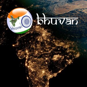
Bhuvan, developed by the National Remote Sensing Centre (NRSC) under ISRO (Indian Space Research Organisation), is India’s very own satellite-based Geoportal. Launched in 2009, Bhuvan has emerged as a powerful platform that offers a wide range of geospatial services to scientists, policymakers, researchers, students, and the general public.
🌍 What is Bhuvan?
Bhuvan, meaning “Earth” in Sanskrit, is a web-based platform that allows users to view, analyze, and download satellite data and maps of India. It serves as a bridge between remote sensing technology and its practical use in urban planning, agriculture, environment monitoring, disaster management, and governance.
🛰️ Who Developed Bhuvan?
Bhuvan is developed and maintained by the National Remote Sensing Centre (NRSC), an important arm of ISRO located in Hyderabad. NRSC is responsible for receiving, processing, archiving, and distributing remote sensing data from Indian and foreign satellites.
🔑 Key Features of Bhuvan Portal:
-
Satellite Imagery:
Access high-resolution satellite images of any part of India. -
Thematic Maps:
Layers related to land use, agriculture, water resources, forest cover, soil, etc. -
Disaster Monitoring:
Real-time data support during floods, cyclones, droughts, and other natural disasters. -
Data Download:
Users can download geospatial datasets for academic, research, or development use. -
Specialized Applications:
Customized platforms for Smart Cities, Rural Mapping, Urban Planning, Forest Management, and more. -
3D Visualization:
View 3D terrain and satellite-based visualizations directly from your browser.
📱 Mobile Application Support
Bhuvan is also available as a mobile application, enabling real-time field data collection, mapping, and validation by users in remote or rural areas. It is particularly useful for government officials, surveyors, and environmental researchers.
🇮🇳 Why is Bhuvan Important for India?
-
Self-Reliant Platform:
Bhuvan serves as an indigenous alternative to foreign platforms like Google Earth. -
Support for Governance:
Used in major schemes like MGNREGA, PM-Kisan, Smart Cities Mission, and Digital India. -
Academic and Research Aid:
A valuable tool for students, researchers, and institutions working in geosciences and environmental studies. -
Transparency and Data Access:
Promotes data accessibility and open governance by making geo-information available to the public.
🌐 Visit the Official Portal
To explore India through the lens of satellites, visit the official Bhuvan portal:
🔗 https://bhuvan.nrsc.gov.in
📝 Conclusion
Bhuvan is more than just a map viewer—it is a symbol of India’s scientific innovation and digital empowerment. Developed by ISRO’s NRSC, this portal is playing a crucial role in nation-building, environmental management, and disaster preparedness.
Whether you’re a student, policymaker, scientist, or citizen, Bhuvan brings India’s geography to your fingertips.

